


I can see my house from here! And my dog. And the tomato plants in the garden.
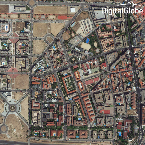
The WorldView-3 satellite, which launched on August 13, has sent back its first images. They’re gorgeous, and kind of creepy.
The new satellite can see to a resolution of 31 centimeters. That means each pixel of the camera captures one square foot of land, which is sharp enough to see home plate at Yankee Stadium, to map crops by pattern and type, to identify the type and speed of cars and trucks, and measure population density, all from 383 miles above the Earth’s surface.
WV-3 isn’t the sharpest satellite ever--some military satellites have a resolution of 15 to 20 centimeters--but it does have the highest resolution of any commercial satellite in the world. (The previous record-holder, GeoEye-1, had a resolution of 46 centimeters.)
But WV-3 is important for another reason. Up until now, U.S. regulations prevented companies from selling images with resolutions finer than 50 centimeters to anyone but the military. But WV-3’s maker, DigitalGlobe, has been granted tentative permission to break that rule


 Your new post is loading...


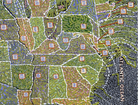


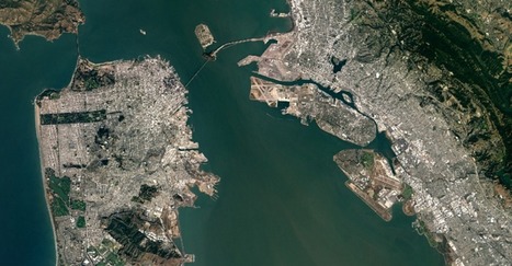


These pictures were taken by the WV-3 satellite, 383 miles above the ground. The satellite take pictures with a resolution of 31 centimeters, the sharpest commercial satellite available.
These pictures are amazing from a technological and cartographic point of view. It does bring up questions about privacy. Can people request for their homes not to be photographed? It also brings up questions about the end of the map making business. If pictures like these can be taken, will the earth soon be completely mapped out? Very beautiful and interesting pictures.